Last Updated: 2026-11-09
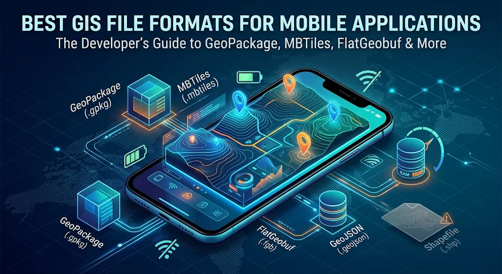
Best GIS File Formats for Mobile Applications: The Definitive Developer Guide
Mobile GIS applications face hardware and network constraints that desktop GIS setups never encounter. Handheld devices operate with limited RAM, fluctuating battery life, and intermittent or nonexistent cellular connectivity out in the field. Attempting to parse a monolithic, poorly structured spatial dataset on an iOS or Android device leads to application crashes, sluggish touch response, and severe battery drain.
Selecting the right geographic data container is the most impactful technical decision when engineering field inspection tools, logistics dashboards, offline hiking trackers, or urban planning applications. This guide breaks down the top spatial formats for mobile environments, compares their operational trade-offs, and provides actionable recommendations based on real-world use cases.
Technical Constraints of Mobile GIS Environments
Before evaluating formats, consider the four core limitations that dictate mobile performance:
- Memory Allocation (RAM): Mobile operating systems aggressively kill background processes or heap-heavy tasks. Loading unindexed vector layers directly into memory causes quick Out-Of-Memory (OOM) termination.
- Offline I/O and Random Access: Field workers frequently lose network access. The storage engine must support indexed, disk-level spatial queries (e.g., R-Tree) so the application only reads features currently in the viewport rather than scanning the entire file.
- Data Overhead and Bandwidth: Transmitting bulky payloads over 3G/4G/5G networks drains device batteries and consumes expensive data quotas.
- Read/Write Mutability: Mobile inspection workflows require field personnel to record GPS coordinates, attach notes, update status attributes, and synchronize edits back to central databases without file corruption.
Detailed Evaluation: Top GIS Formats for Mobile
1. GeoPackage (.gpkg) — The Undisputed Industry Gold Standard
Maintained as an open standard by the Open Geospatial Consortium (OGC), GeoPackage is built on top of an embedded SQLite database container.
- Why it excels on mobile: SQLite is natively embedded into both Android and iOS operating systems. Querying a GeoPackage requires no heavy custom parsing layer. It uses spatial indexing (R-Tree) out of the box, allowing applications to retrieve spatial bounding-box slices rapidly without loading the full database into RAM.
- Key capabilities: It supports both vector data and raster tile pyramids in a single, compact binary file. It handles multiple layers, complex attributes, schema definitions, and direct spatial updates (INSERT, UPDATE, DELETE).
- Best used for: Offline data collection, field inspection apps (e.g., QField, Mergin Maps), asset management, and mixed vector/raster offline storage.
2. MBTiles (.mbtiles) — Best for Base Maps and Raster Imagery
Originally developed by Mapbox, MBTiles is also an SQLite-based specification designed specifically to package pre-rendered map tiles.
- Why it excels on mobile: MBTiles solves the file-system bottleneck. Storing tens of thousands of individual tile images (
.pngor.pbf) directly on mobile file systems degrades performance. Packaging those tiles inside a single SQLite container allows near-instant lookups via standard SQL tile coordinate indexing (z, x, y). - Vector Tiles (MVT) inside MBTiles: When combined with Mapbox Vector Tiles (MVT), MBTiles delivers ultra-crisp, high-performance base maps that can be dynamically restyled on-device via GPU rendering with minimal storage footprint.
- Best used for: Offline basemaps, aerial imagery baselayers, hiking maps, and navigation displays.
3. FlatGeobuf (.fgb) — Best for High-Performance Read-Only Vector Streaming
FlatGeobuf is a modern binary encoding format for vector data based on FlatBuffers.
- Why it excels on mobile: Unlike GeoJSON, FlatGeobuf requires no deserialization step. The CPU reads data straight from the binary stream without allocating intermediary memory objects. It includes a built-in spatial index (packed Hilbert R-tree). FlatGeobuf is especially powerful over HTTP/HTTPS: mobile clients can issue HTTP range requests to download only the slice of vector data covering the device’s current viewport.
- Limitations: FlatGeobuf is fundamentally an archive/streaming format; it is not built for in-place database editing or field record manipulation.
- Best used for: High-speed streaming of heavy vector datasets (e.g., nationwide parcels, contours, road networks) with near-instant viewport rendering.
4. GeoJSON (.geojson) — Best for Lightweight API Payloads Only
GeoJSON is an open, human-readable standard based on JavaScript Object Notation.
- Why it is risky for large datasets: Because GeoJSON is text-based and unindexed, mobile devices must parse the entire string and instantiate every coordinate and property into memory before rendering. A 40 MB GeoJSON file can quickly balloon into several hundred megabytes of heap memory, crashing a mobile client.
- When to use it: Ideal for transmitting small transactional payloads (e.g., a single route geometry, 50 nearby points of interest, or quick API form submissions).
5. Shapefile (.shp) — Why You Must Avoid It on Mobile
Developed in the 1990s by Esri, the Shapefile remains common on legacy desktop systems, but it is poorly suited for mobile development:
- It requires multiple accompanying files (
.shp,.shx,.dbf,.prj), creating file synchronization and packaging risks. - Field names are truncated to 10 characters.
- Maximum file size is hard-capped at 2 GB.
- It lacks modern encoding standards, often causing character set corruption with international text.
Comparison Matrix: Mobile GIS Formats
| File Format | Primary Data Type | Spatial Indexing | Mobile Read Speed | Supports Direct Editing? | Offline Suitability |
|---|---|---|---|---|---|
| GeoPackage (.gpkg) | Vector & Raster | Yes (R-Tree via SQLite) | High | Yes (Full SQL transactions) | Outstanding |
| MBTiles (.mbtiles) | Raster & Vector Tiles | Yes (Tile coordinate index) | Very High | Read-Only (pre-baked) | Outstanding |
| FlatGeobuf (.fgb) | Vector | Yes (Packed Hilbert R-Tree) | Exceptional | No (Streaming / Static) | High (when bundled) |
| GeoJSON (.geojson) | Vector | No (Sequential read) | Poor on large files | In-memory only | Limited to small files |
| Shapefile (.shp) | Vector | External (.shx / .sbn) | Moderate | Problematic on mobile | Poor |
Practical Architectural Recommendations
When building a production-grade mobile GIS architecture, avoid relying on a single format for all tasks. Modern GIS apps use a multi-tiered storage approach:
- For Offline Field Edits & Data Capture: Use GeoPackage (.gpkg). Its native SQLite foundation ensures ACID compliance, multi-table joins, seamless geometric updates, and dependable offline caching.
- For Offline Basemaps & Tile Overlays: Use MBTiles (.mbtiles) containing Mapbox Vector Tiles (MVT). It keeps file storage clean and offloads rendering to the mobile GPU.
- For Live Cloud-to-Mobile Vector Syncing: Stream geometries using FlatGeobuf (.fgb) over HTTP range requests for massive read-only layers, or lightweight GeoJSON snippets for individual point updates and real-time alerts.
SEO Metadata & Proposed Titles
Title Tag Suggestions
- Best GIS File Format for Mobile Apps: Performance, Storage, & Offline Guide
- Mobile GIS Architecture: Why GeoPackage and MBTiles Beat Legacy Formats
- Top GIS Formats for Mobile App Development: Speed, Memory, and Offline Sync
Meta Description Suggestions
- Discover the best GIS file formats for mobile apps. Compare GeoPackage, MBTiles, FlatGeobuf, and GeoJSON for memory efficiency, offline sync, and fast rendering.
- Building a mobile mapping app? Learn which spatial data formats prevent memory crashes, support offline field editing, and ensure lightning-fast rendering.
- A developer’s guide to mobile GIS file formats. See why GeoPackage and MBTiles dominate field data collection while legacy Shapefiles fall short.
Frequently Asked Questions
Why is GeoPackage preferred over Shapefile for mobile applications?
GeoPackage consolidates geometry, attributes, and indexing into a single, compact SQLite file that allows fast direct editing without the multi-file dependency risks of Shapefiles.
Can a GeoPackage store both raster and vector data simultaneously?
Yes, the OGC GeoPackage standard supports vector features and raster tile pyramids within the exact same database container.
What makes MBTiles ideal for mobile basemaps?
MBTiles stores tens of thousands of map tiles inside an indexed SQLite database, eliminating mobile file-system lag caused by directory lookups of loose image files.
When should developers avoid using GeoJSON in mobile apps?
Avoid GeoJSON when working with datasets over 10 MB or thousands of features, as parsing large JSON text blocks causes high memory spikes and mobile UI lag.
How does FlatGeobuf improve mobile vector data streaming?
FlatGeobuf enables binary reading without memory deserialization and uses HTTP range requests so mobile devices download only the features in their current viewport.
See Also
GIS File Formats at FileFormat.com